
Dry Stone Is Not Decoration
24 september 2026
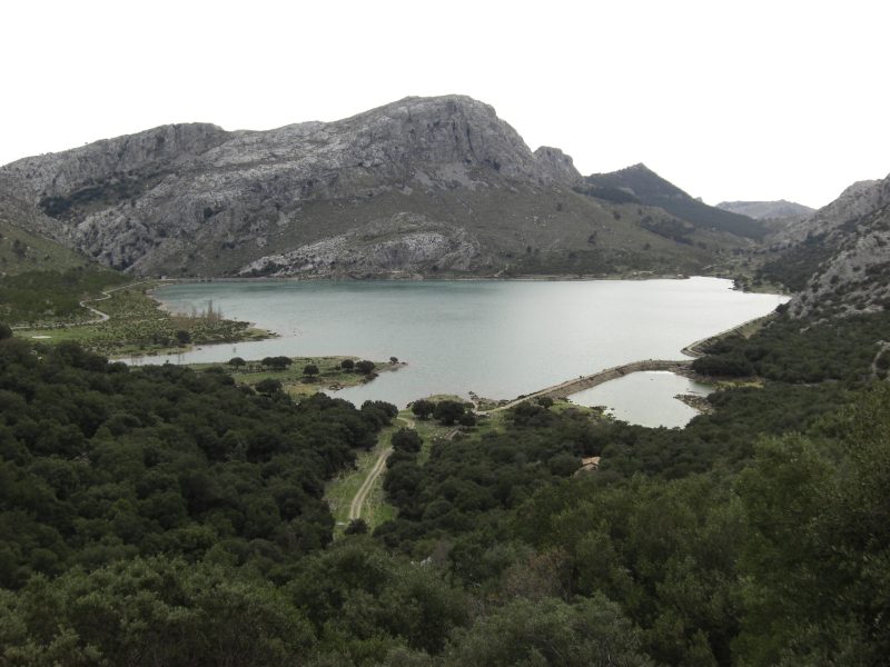
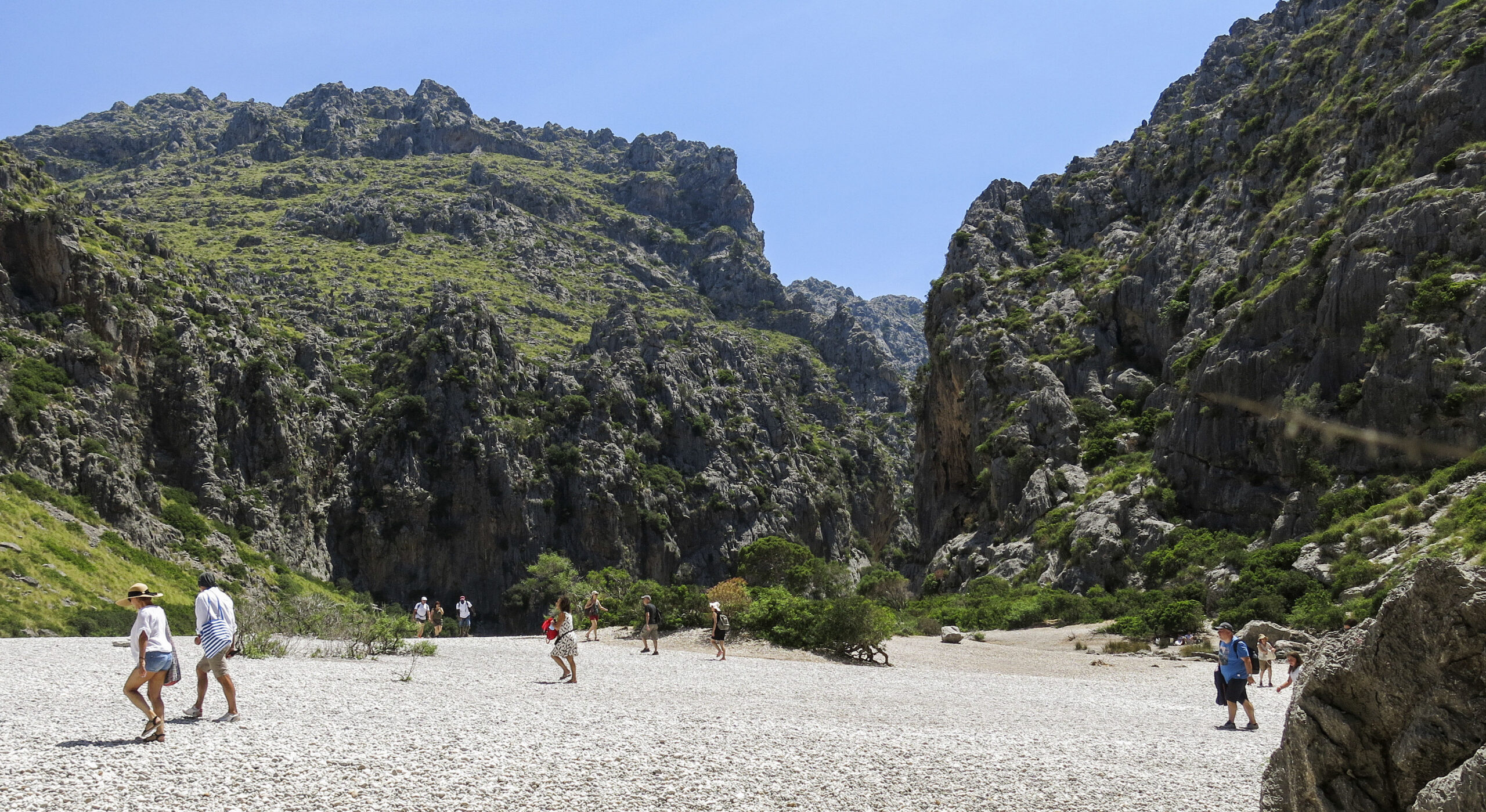
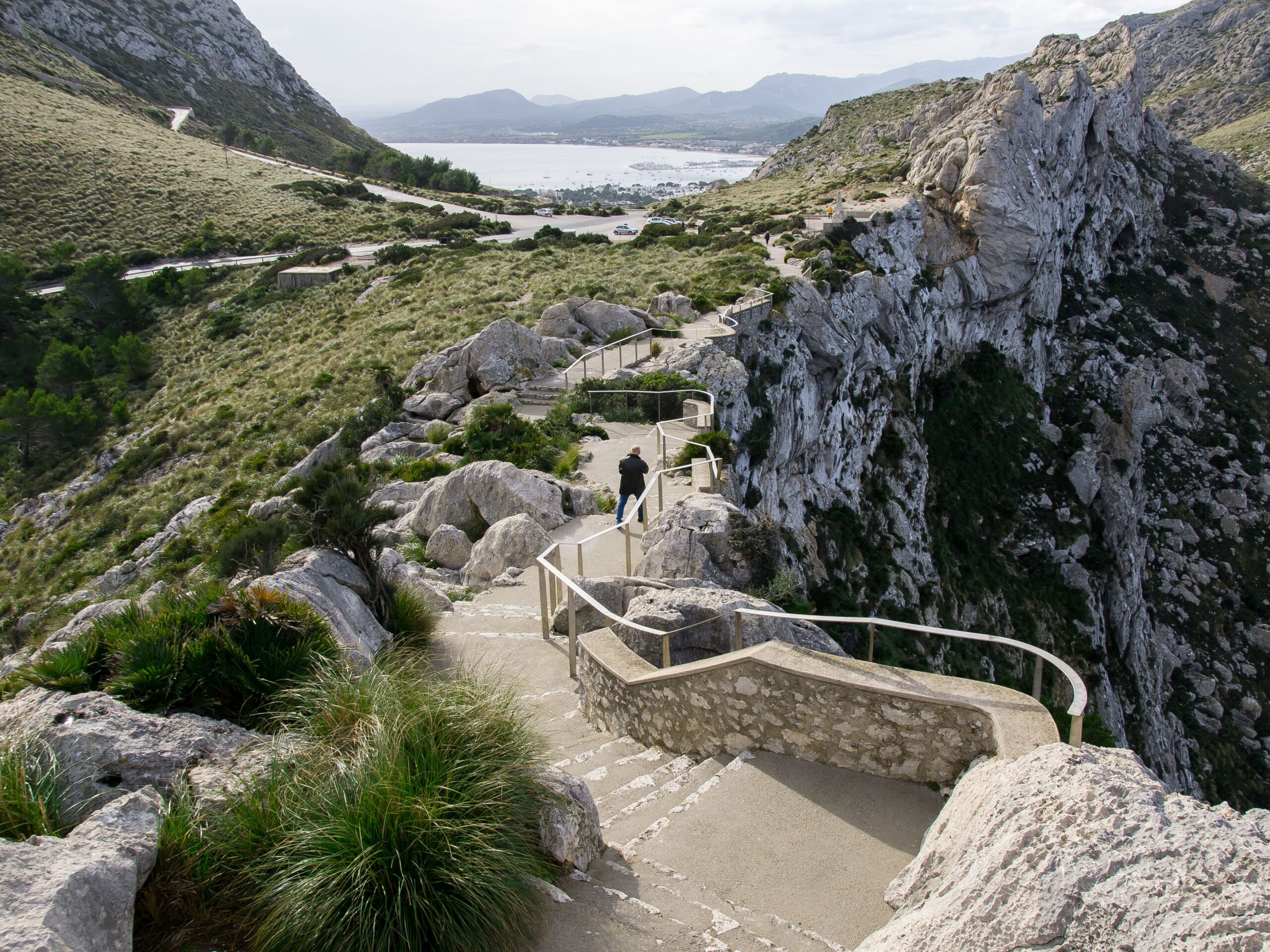
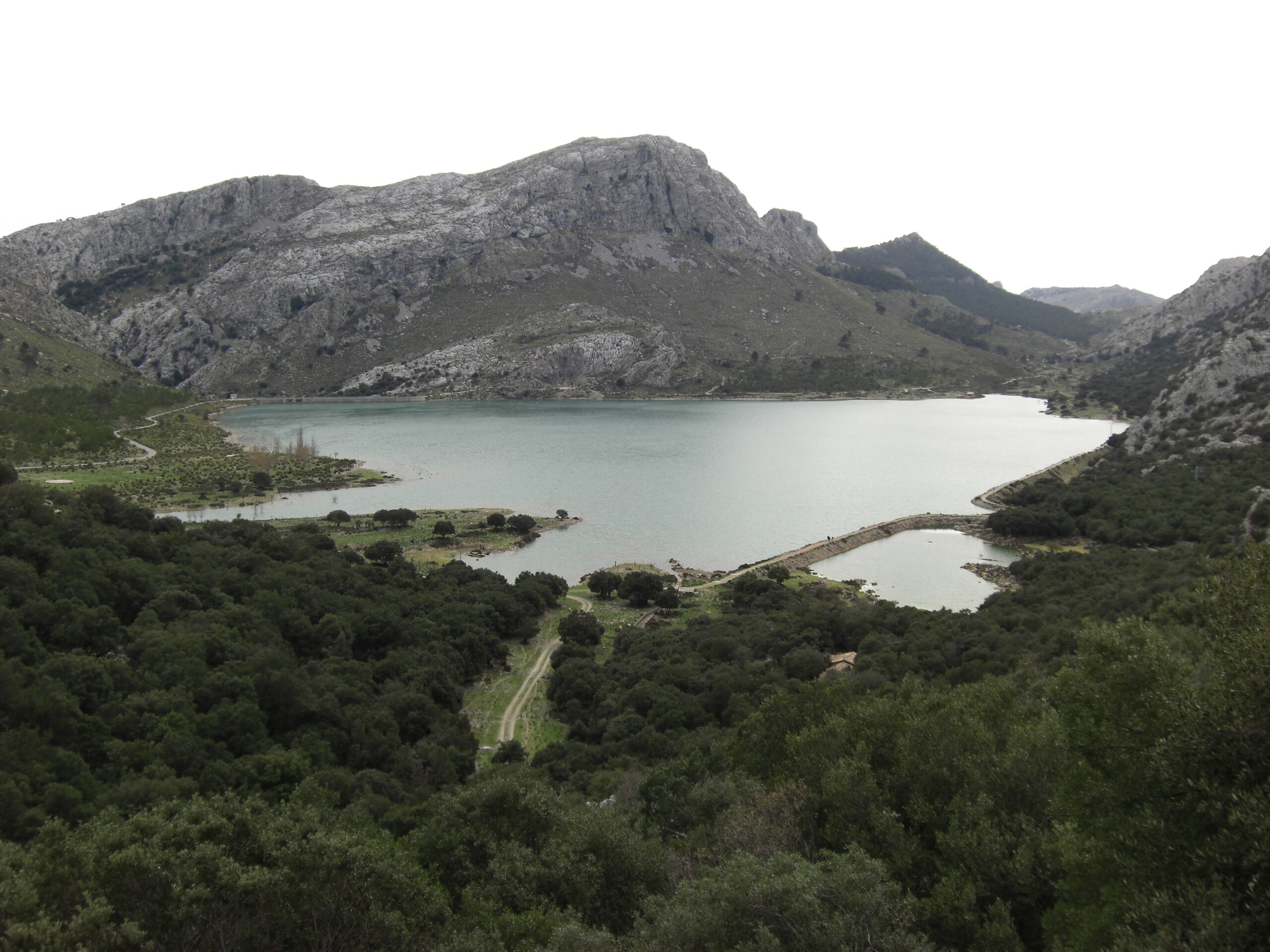
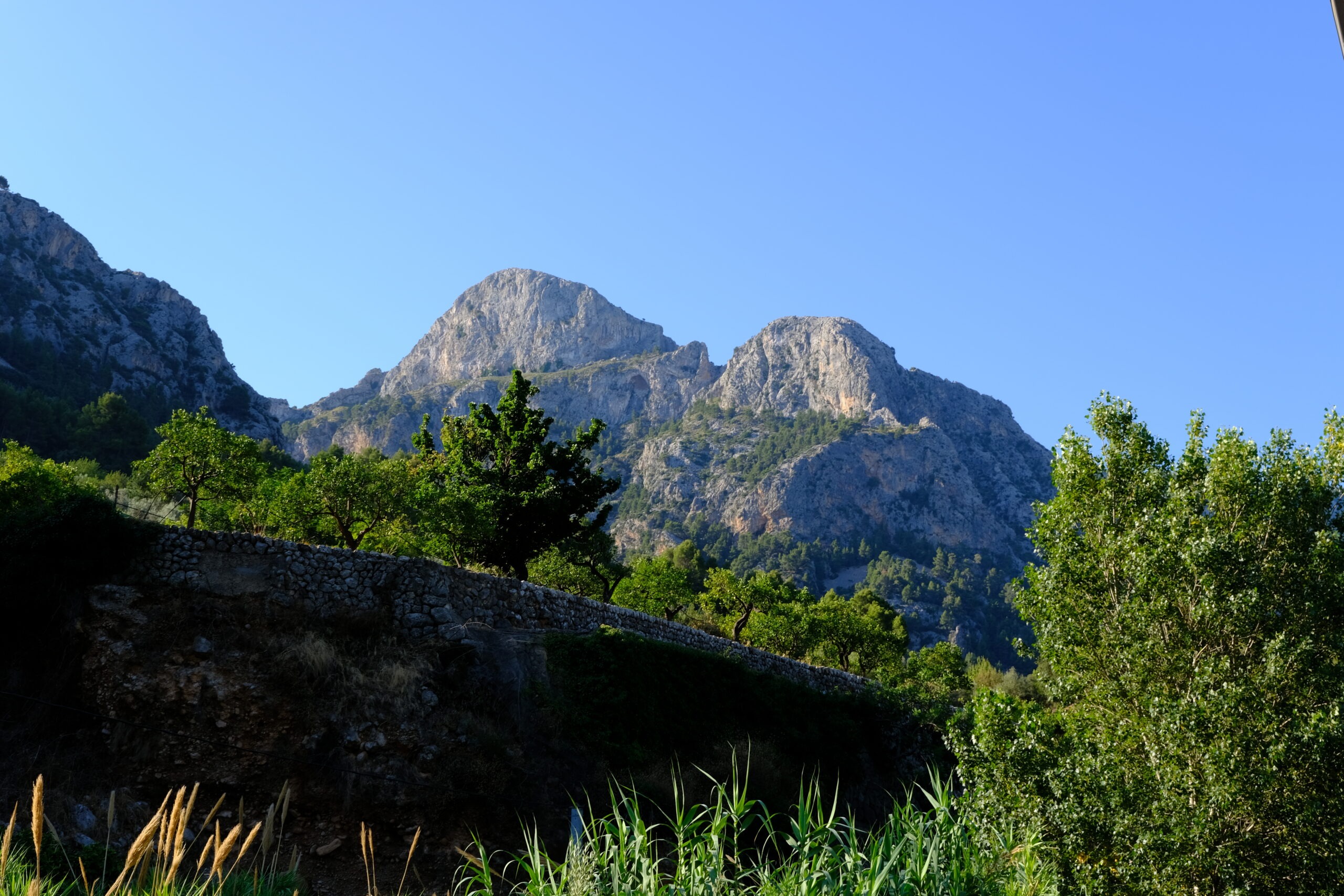
The stone walls of the Serra de Tramuntana are so completely absorbed into the landscape that they can appear almost natural. Look more closely and they reveal something else: a mountain range painstakingly reorganised so that soil could stay put, water could be used and people could live and work on slopes that offered them very little.
Before the View, There Was a Problem
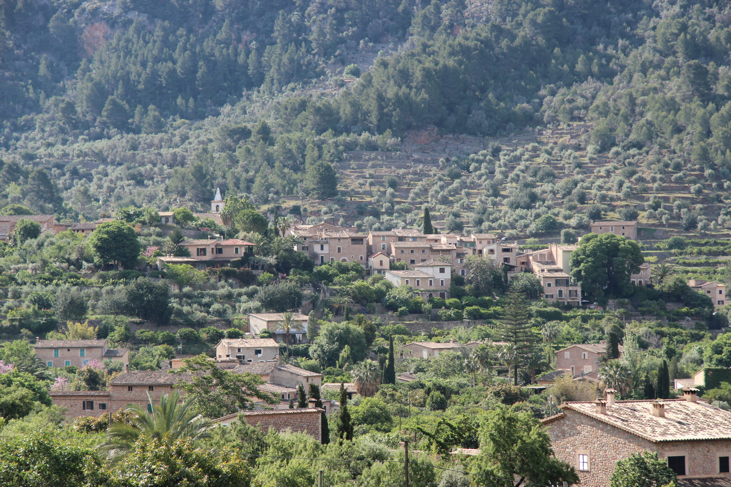
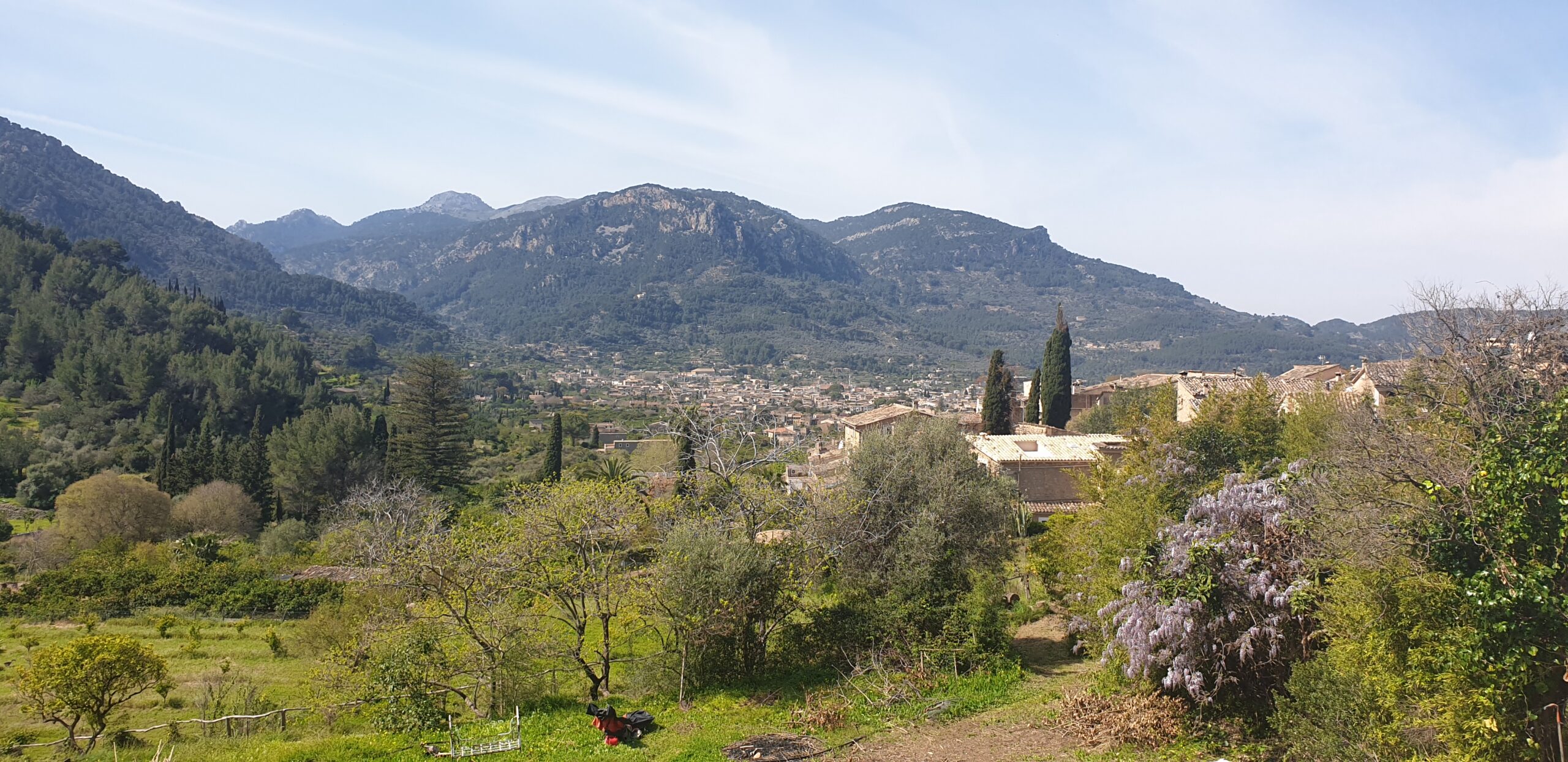
It is easy to arrive in the Serra de Tramuntana and read the landscape aesthetically. Limestone mountains rise abruptly behind olive groves; walls follow the contours of the hills; stone paths disappear between orchards and villages. Around Sóller, Fornalutx and Biniaraix, the workmanship feels so harmonious with the terrain that it is tempting to think of it as an old Mediterranean style.
That interpretation gets the sequence backwards.
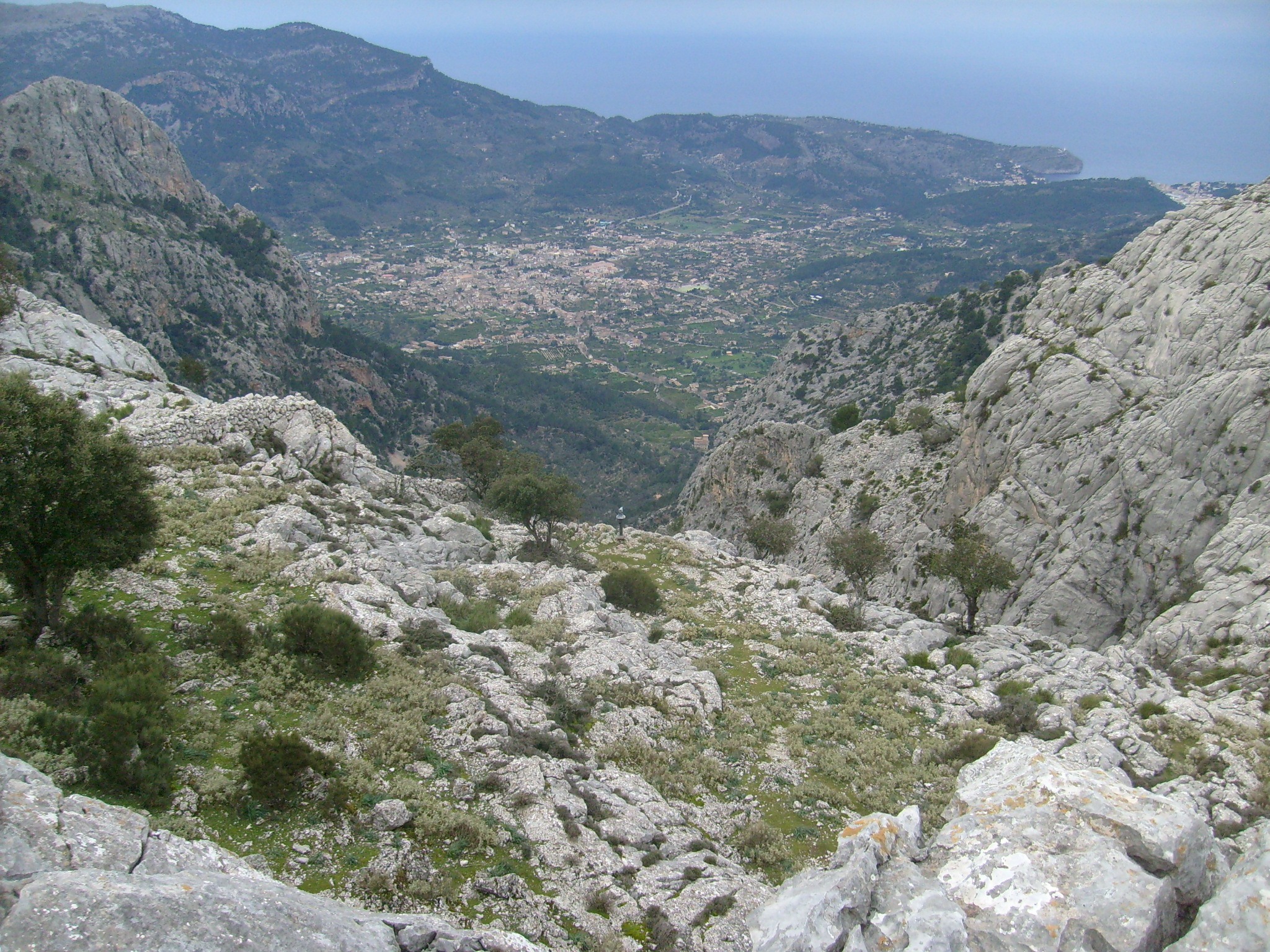
The people who constructed this landscape were dealing with a difficult piece of geography. The mountain range runs parallel to Mallorca’s north-west coast, with steep slopes, limited level ground and long periods in which water is scarce. Agriculture could not simply be placed onto that terrain. The terrain first had to be altered.
That is why UNESCO did not inscribe the Serra de Tramuntana as a natural landscape, but as a cultural landscape. Its World Heritage designation recognises the long interaction between people and an environment in which usable soil and water were both limited. Terraces, dry-stone construction, paths and hydraulic works form part of one system rather than a collection of picturesque historical features. UNESCO’s description of the Cultural Landscape of the Serra de Tramuntana makes this relationship central to the site’s significance.
Seen this way, the landscape becomes more interesting. The stone is no longer framing the view. It is helping create the conditions that made the view possible.
Too Much Stone, Too Little Soil
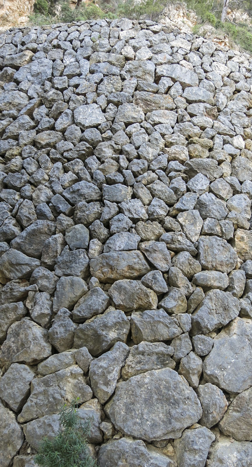
The basic technique could hardly sound simpler: stone is placed on stone without mortar or cement.
Its apparent simplicity hides an enormous amount of work.
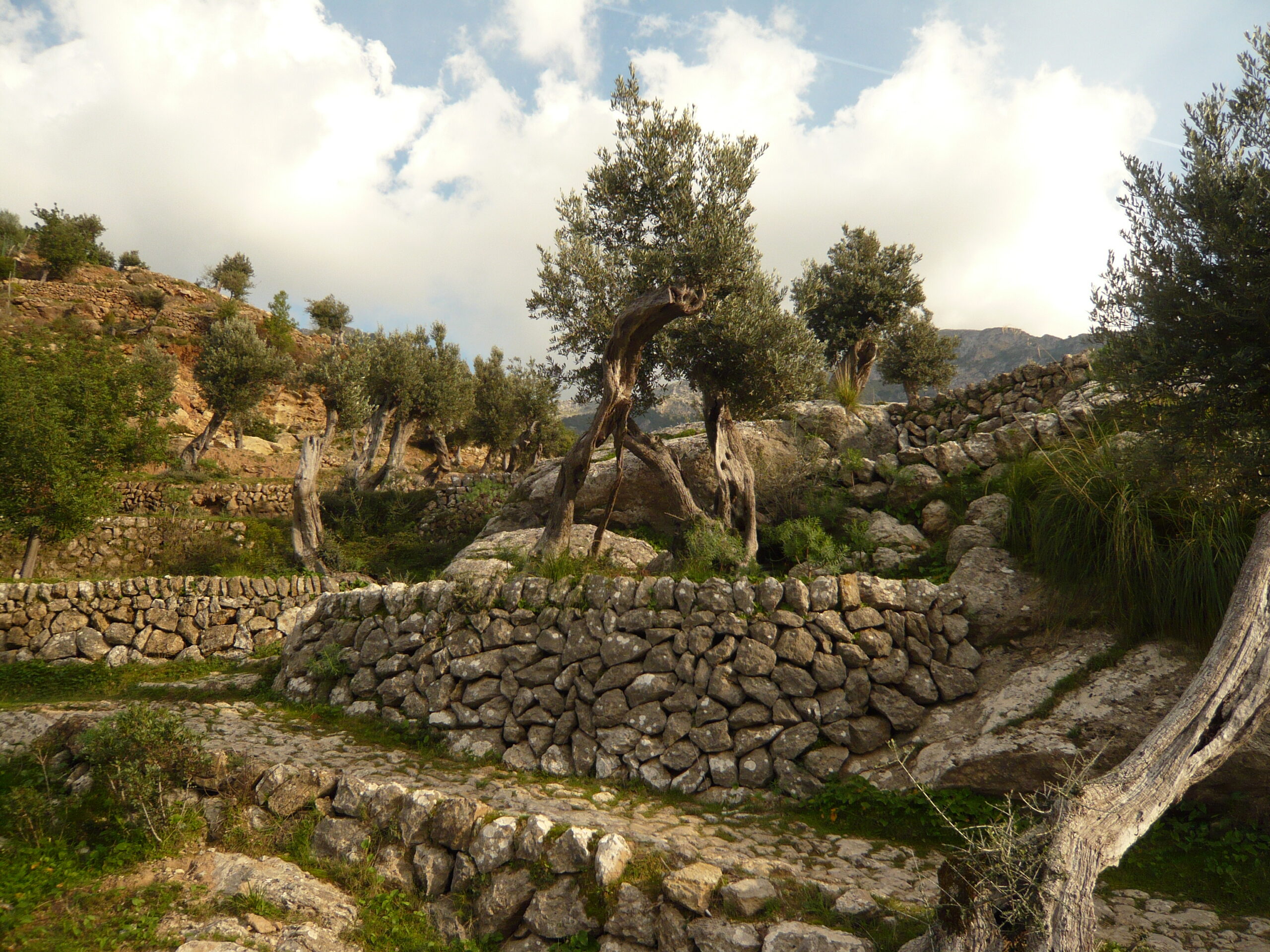
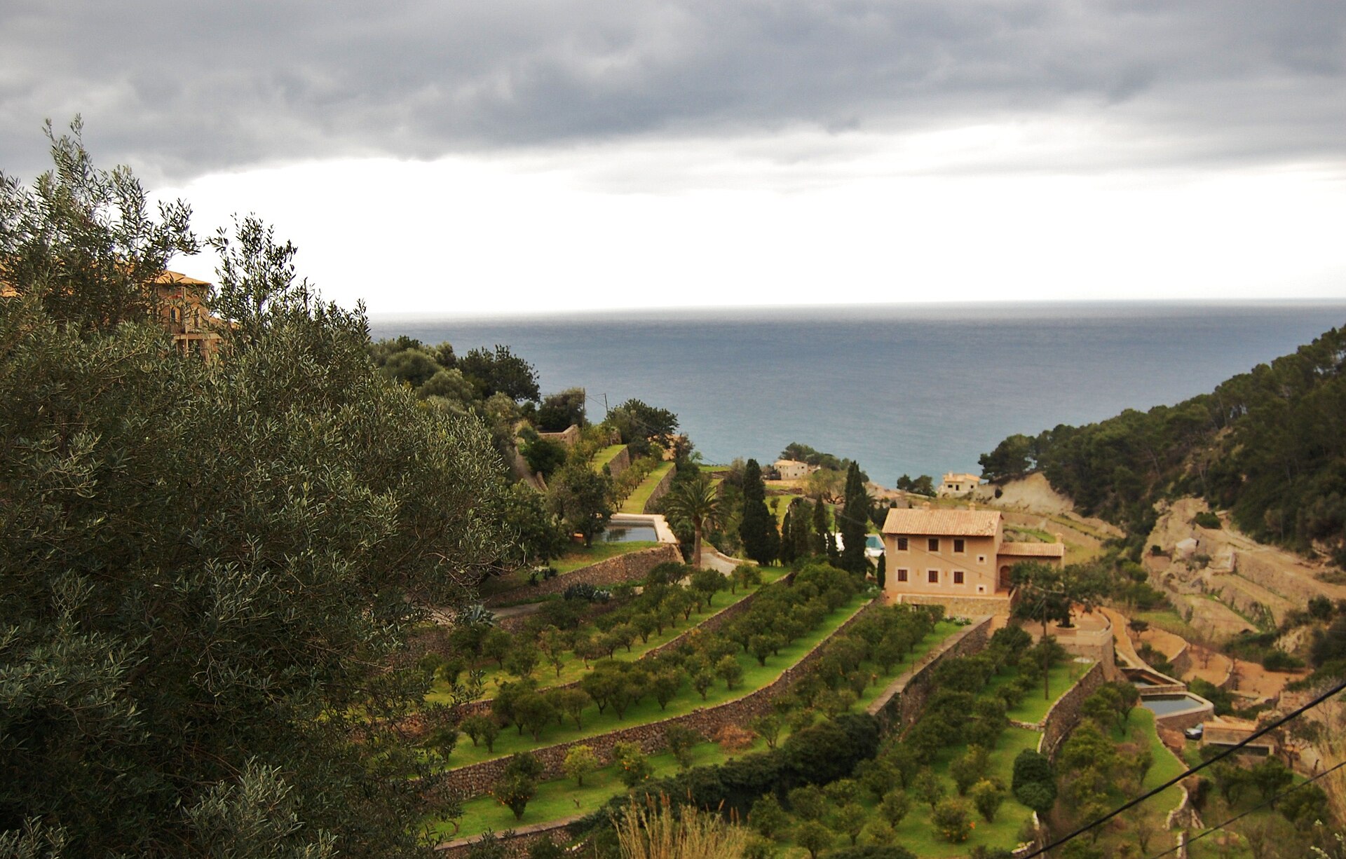
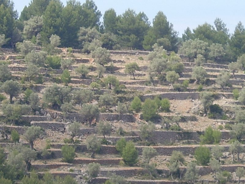
Rock removed from land that needed cultivating became building material. The stones closest at hand could be used to make boundary walls, huts and paths, but their most consequential role in the Tramuntana was in the marges: dry-stone retaining walls constructed across slopes. Behind them lay the marjades, the strips of terraced ground that could then be cultivated.
The distinction matters. A marge is not merely a wall built beside a field. In many places, the wall is the reason a field exists there at all.
The official dry-stone documentation of the Consell de Mallorca gives a sense of the scale. An inventory covering fifteen municipalities in the Serra recorded around 169.6 square kilometres of terraced land and approximately 17,134 kilometres of retaining walls. Written references to these structures go back to the 13th century, although the landscape continued to expand and change for centuries afterwards.
The resulting pattern is now so familiar that the labour behind it can disappear from view. Hill after hill seems naturally stepped. An olive tree standing on a narrow ledge looks as though it simply found a suitable place to grow.
Someone first had to make that place.
Holding a Mountain in Place
Terracing solved more than the obvious problem of slope.
A retaining wall creates a flatter area behind it, making cultivation possible, but it also helps keep precious soil from travelling downhill with heavy rain. Dry-stone construction has another useful characteristic: because the wall is not sealed into one impermeable mass, water can move through the structure rather than simply collecting behind it.
The Consell de Mallorca identifies water regulation, slope stabilisation and erosion control among the environmental functions of the marges. Rubble behind the visible wall assists drainage during moderate rainfall, while larger terraced systems incorporate additional drainage structures designed to control runoff across the hillside. When agriculture and maintenance disappear, those systems can deteriorate, increasing the vulnerability of abandoned slopes during intense rainfall.
The wall, therefore, cannot really be separated from what happens above it or below it. Each terrace works within a succession of others.
Look across an old olive slope and the visual effect may resemble horizontal lines drawn across a mountain. Functionally, those lines are closer to a series of small interventions in gravity. Soil is retained. Water is slowed and redirected. Access becomes possible. Another strip of cultivable ground appears where previously there was mostly incline and rock.
The landscape is beautiful, but beauty was not the engineering problem its builders were trying to solve.
“In the historic Serra, form followed necessity over a very long period. “
Water Writes the Second Map
Stone is the most visible infrastructure of the Tramuntana. Water is the less obvious system running through it.
This is where the history becomes more complicated than a story about traditional Mallorcan craftsmanship. UNESCO’s recognition of the Serra explicitly refers to the interaction between Islamic water-management knowledge and later Christian agricultural and territorial systems.
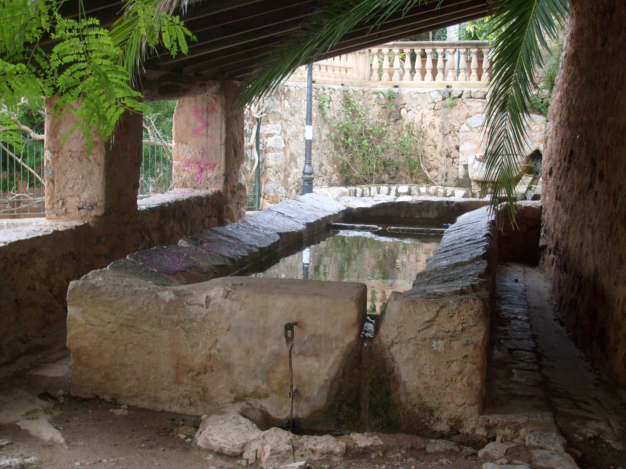
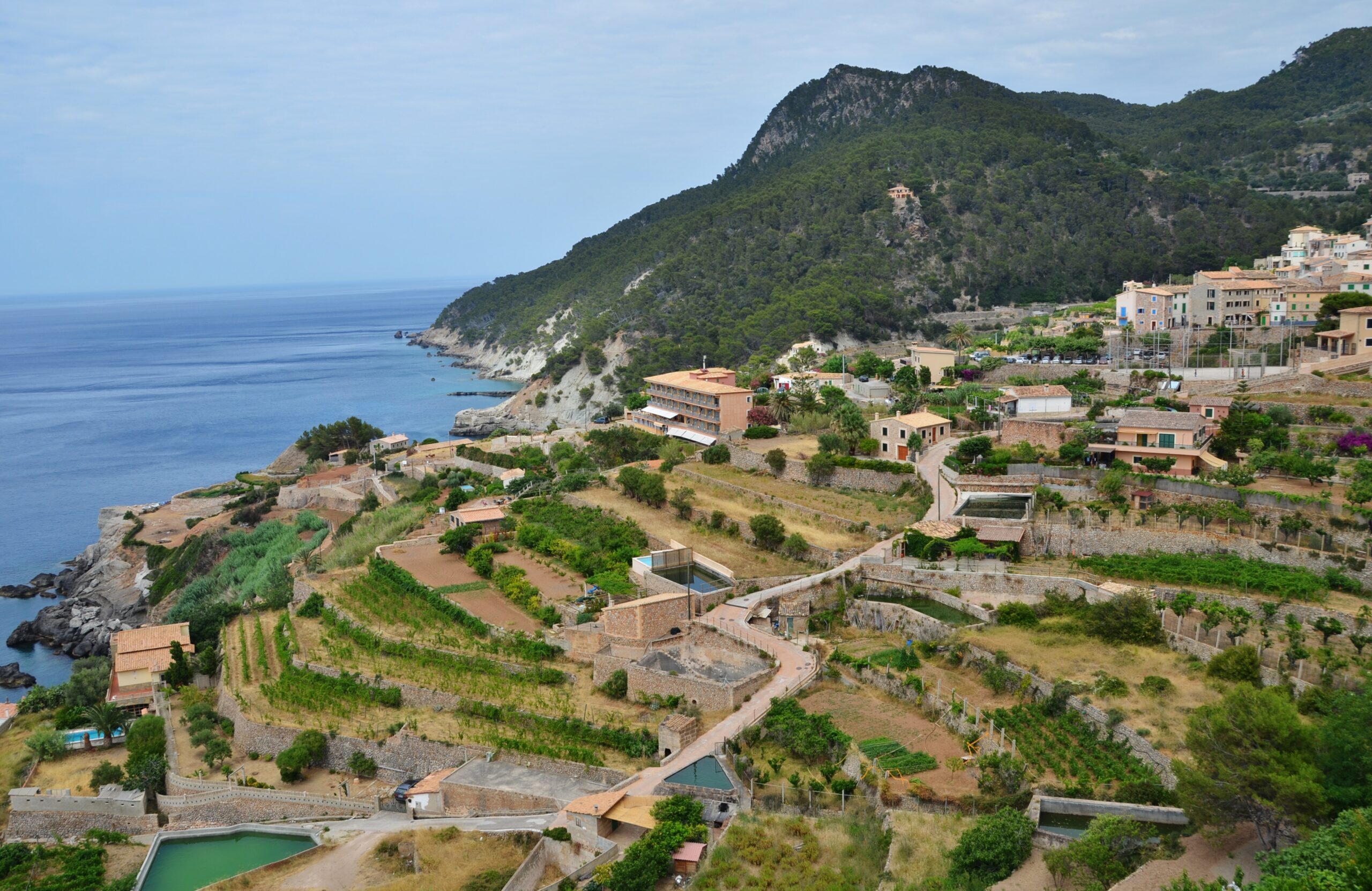
During Muslim rule, techniques for capturing and moving scarce water included underground channels — qanats — as well as channels, ditches and storage structures. After the Christian conquest of Mallorca in the 13th century, those hydraulic systems were retained and adapted within a changing pattern of land ownership and increasingly extensive terracing. Irrigated gardens and orchards could occupy suitable areas, while olive cultivation spread across terraced hillsides.
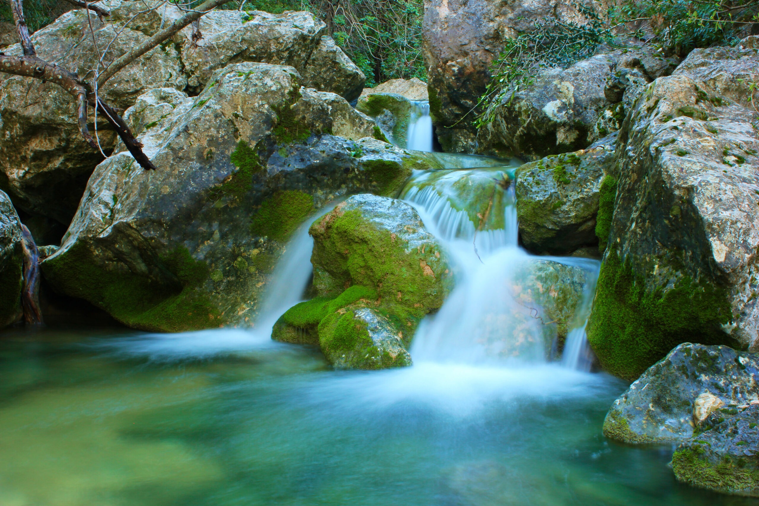
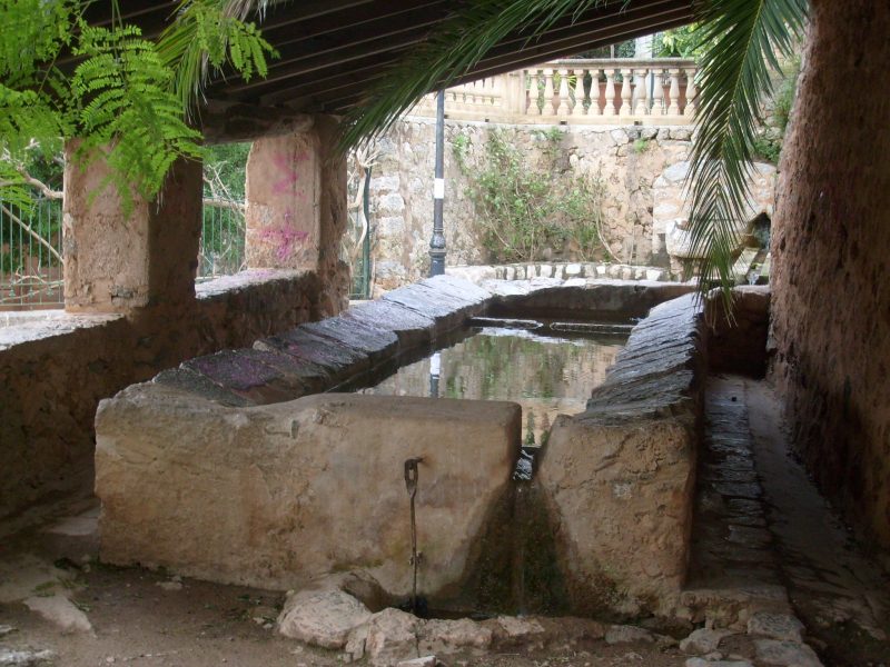
Around places such as Banyalbufar, the relationship remains unusually legible. The landscape still contains water channels, mills, cisterns and steep terraces organised around the capture and distribution of water. The Serra de Tramuntana heritage authority describes the region’s hydraulic inheritance as one of the defining features of its cultural landscape. Its route through Banyalbufar follows a water channel through a terrain shaped by terraces and historic mills.
A wall without water management would solve only part of the mountain’s problem.
Together, water and stone created a second geography over the natural one: channels following carefully judged gradients, terraces interrupting slopes, paths crossing both, settlements forming where resources could support them.
Biniaraix Leaves the Structure Exposed
Few places make that relationship easier to read than the Barranc de Biniaraix, just beyond Sóller.
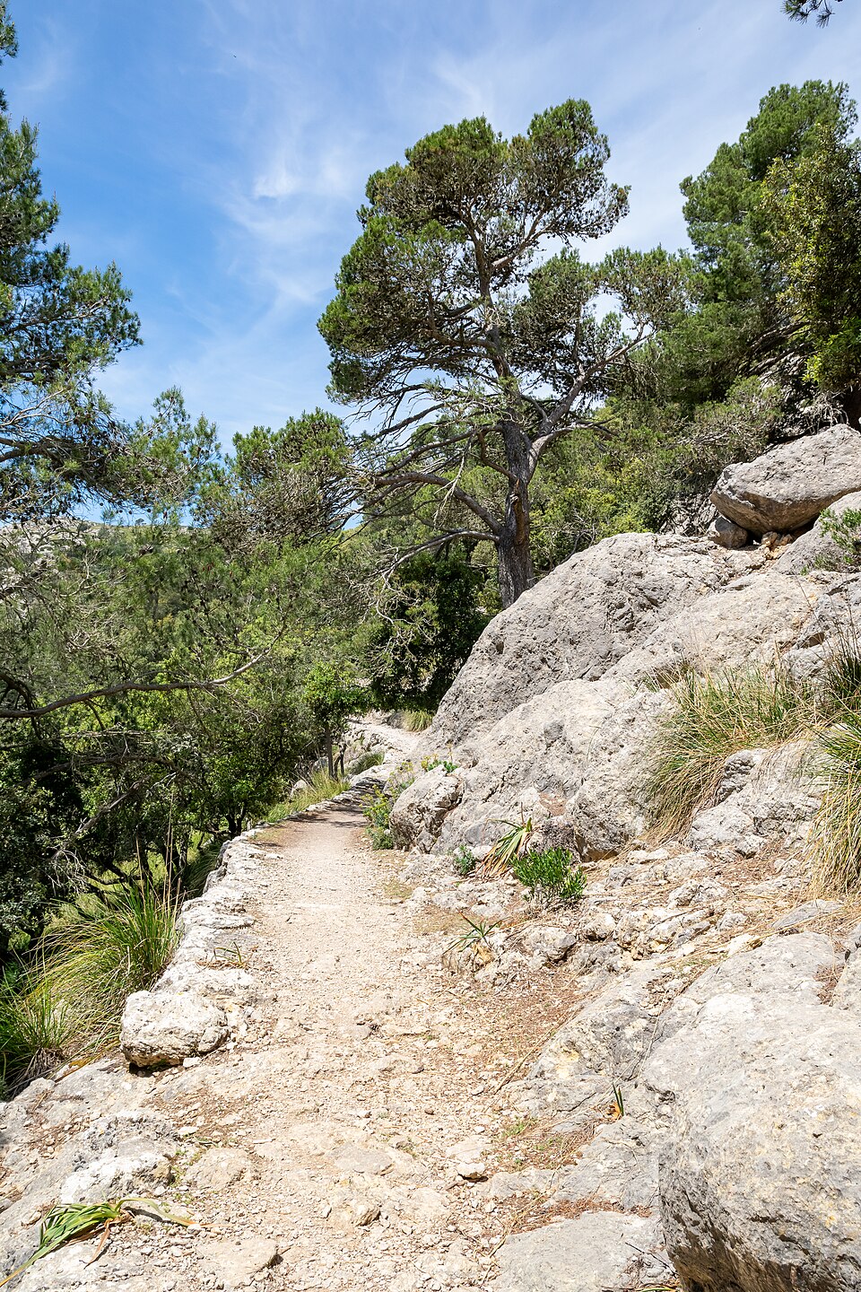
Today it is one of the most compelling walking landscapes in the Tramuntana. The temptation is therefore to experience it primarily as a trail: stone steps, olive trees, high rock walls and a route climbing away from the valley.
Historically, walking was only one part of its purpose.
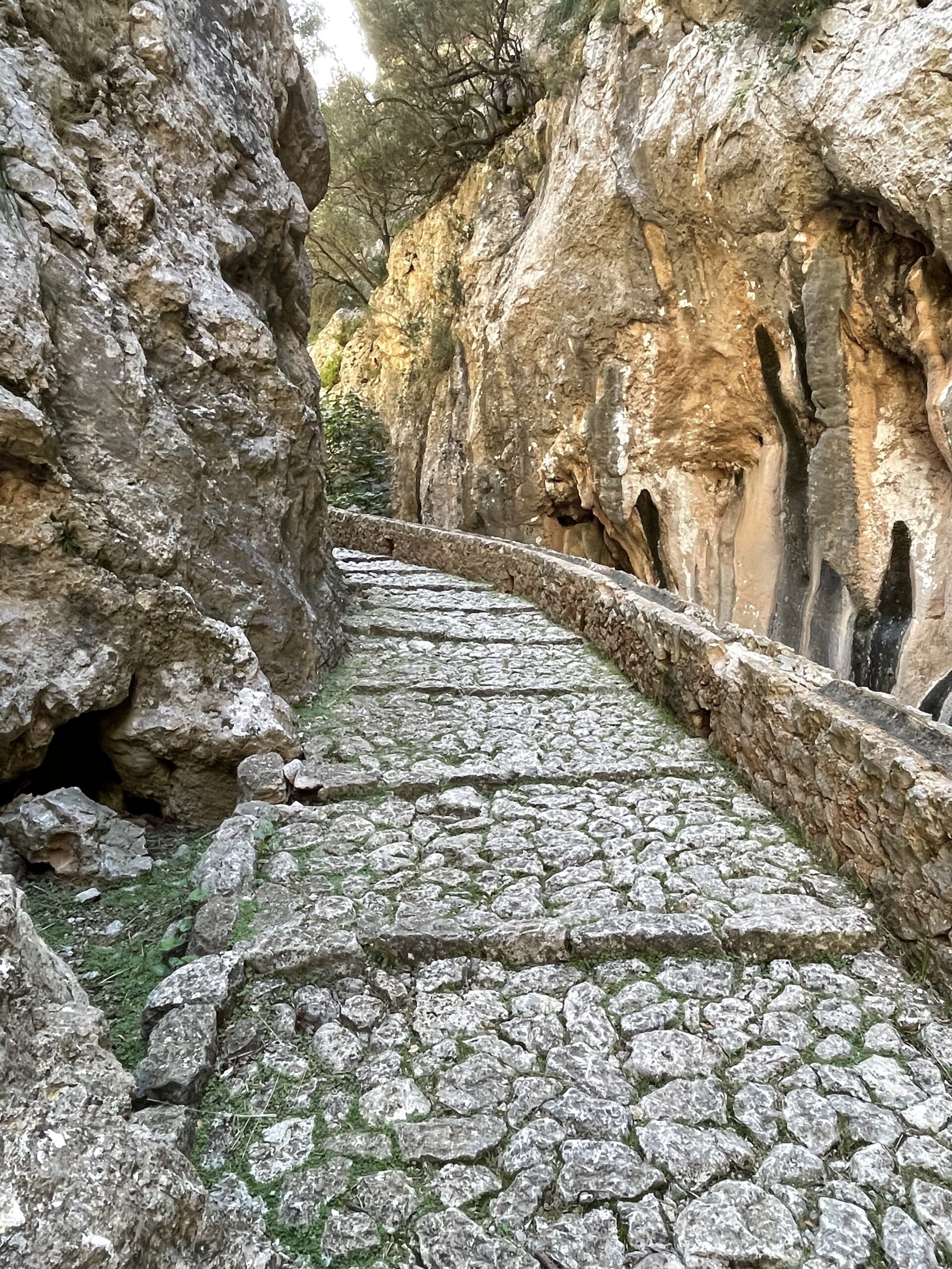
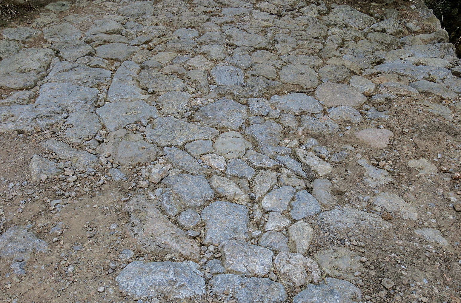
The ravine contains an extensive network of paved paths around which terraced fields were organised. Dry-stone construction addressed several needs at once: retaining agricultural ground, marking property, providing shelter, securing access and helping manage water. The Consell’s description of the Barranc is unusually frank about the reason for all this effort. Agricultural returns were often modest; much of the labour was closer to subsistence than prosperity. The Camí Vell del Barranc de Biniaraix makes that history visible in a landscape now valued largely for recreation and heritage.
In 1994, the path and its surrounding dry-stone structures were protected as a Bien de Interés Cultural. The designation includes not only the route but also the terraces and related stonework around it.
That is important because Biniaraix makes it difficult to isolate a single beautiful object.
Remove the path and access disappears. Remove the retaining walls and the terraces change. Ignore drainage and water begins behaving differently. Abandon cultivation and vegetation alters the system again.
The landscape works because the pieces belong together.
Roads for Mules, Pilgrims and Olives
A cobbled mountain path can now feel almost indulgently slow. It offers the walker exactly what modern travel often seeks: distance from traffic, a physical relationship with terrain and enough difficulty to make arrival feel earned.
That was not why these roads were built.
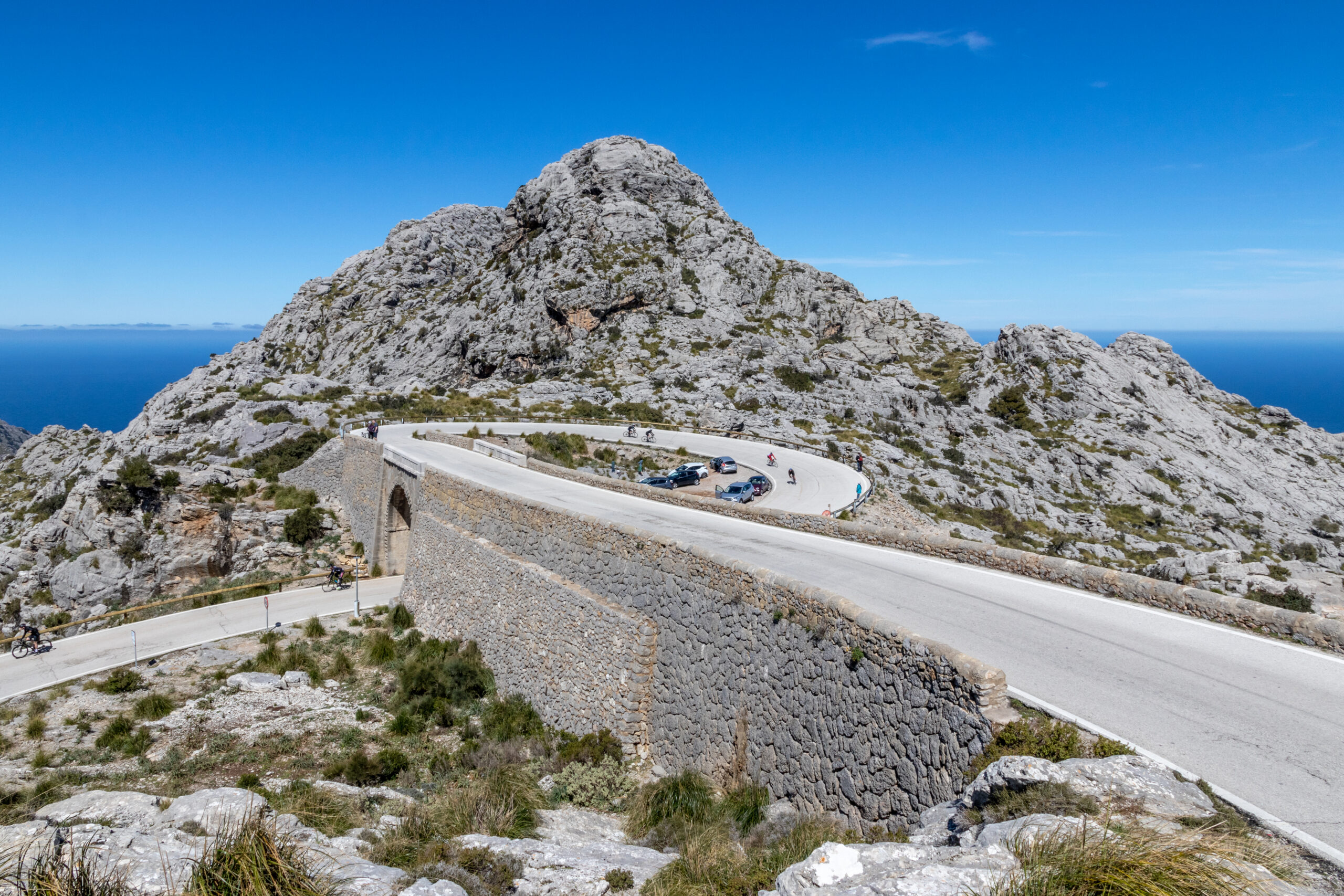
The old Camí des Barranc at Biniaraix connected communities across the Tramuntana with the plains beyond the mountains. It also formed part of routes used by pilgrims travelling towards Lluc and by people transporting agricultural produce, including olives. The path is documented as public as far back as the 14th century, although much of its present cobbling and other construction dates from later periods, including substantial 19th-century work.
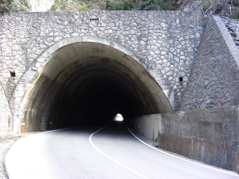
Its construction responds directly to the slope. Sections of paving sit on retaining walls. Drainage channels protect the surface. Turns accommodate gradient rather than modern ideas of efficient travel. People and pack animals moved through a mountain that had to be negotiated rather than conquered in a straight line.
These paths belong to the same infrastructure as the fields beside them. Agricultural terraces have little value if people, animals and produce cannot move between them.
That is easy to forget now that walking has become an end in itself.
The hiker sees an extraordinarily preserved trail.
Earlier generations saw a road.
The Olive Grove Had to Be Built First
Nothing has done more to romanticise the Tramuntana than its old olive trees.
Their trunks are spectacularly irregular, particularly around Sóller and Biniaraix, and the combination of silver foliage, pale limestone and dry-stone walls has become one of the visual signatures of northern Mallorca.
But an olive grove on a steep mountainside begins with something other than an olive tree.
It begins with land.
Terracing turned sections of slope into narrow cultivable plots, retained what soil was available and made it possible to work around trees on terrain that otherwise offered very little horizontal ground. UNESCO specifically identifies olive groves, orchards and vegetable gardens as part of the agricultural landscape created through the combination of terraces and water-management systems.
The result can look ancient and effortless today because tree, wall and mountain have aged together. Their colours have converged; lichens and vegetation soften the boundaries between constructed and natural surfaces.
Yet the olive grove is not nature left alone.
It is nature organised for production.
That does not diminish its beauty. If anything, it makes the landscape more legible. The twisting tree and the retaining wall beside it are records of two different kinds of endurance: one botanical, one human.
The House Sat Inside a Working Landscape
The same change of perspective applies to the old rural houses of the Tramuntana.
Seen through contemporary eyes, a stone possessió surrounded by olive terraces can easily become an architectural object first and an agricultural one second. Historically, the hierarchy ran the other way.
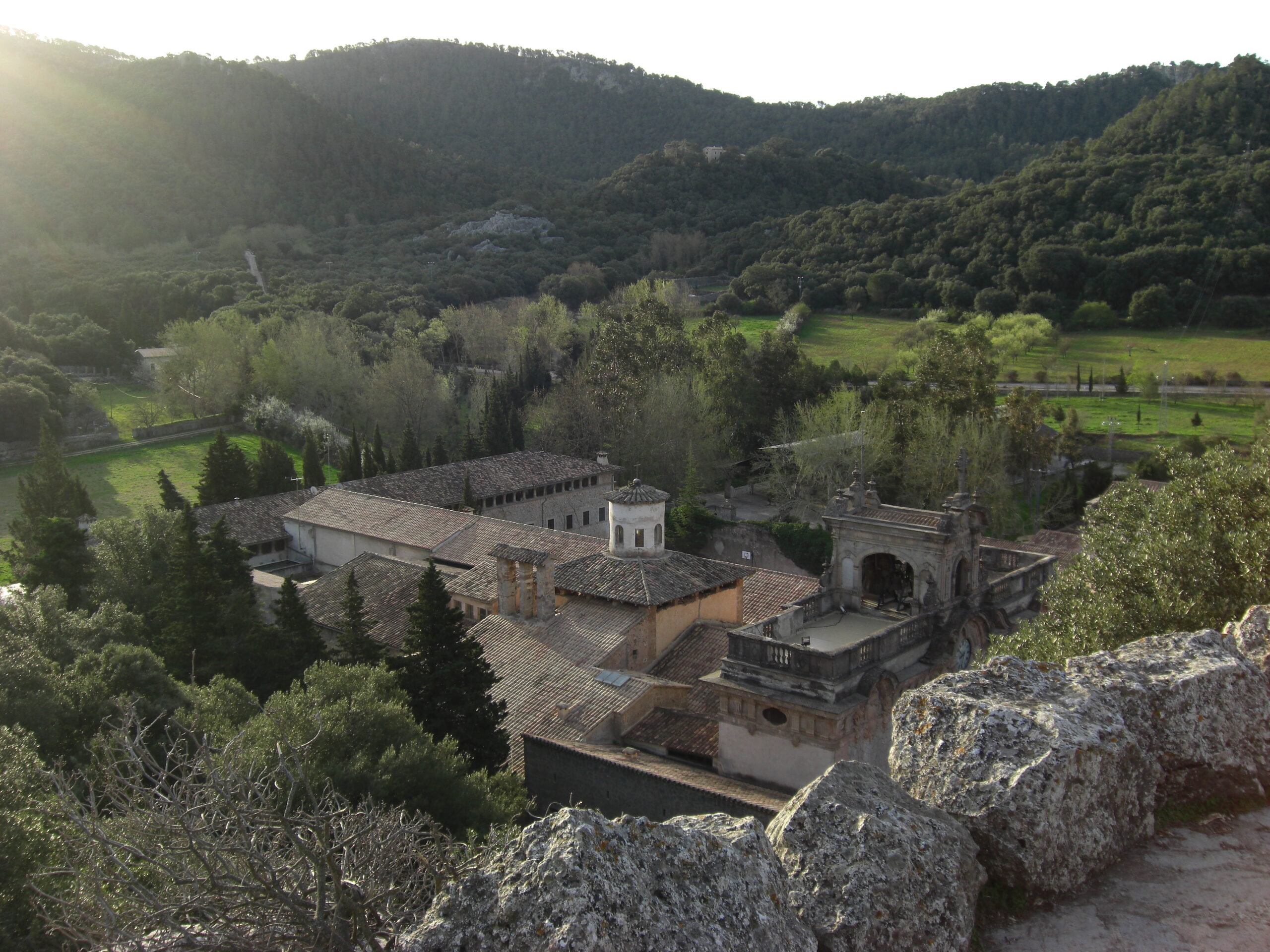
The larger estates that developed after the Christian conquest organised varied terrain into productive units. According to UNESCO’s description, a possessió could incorporate rocky mountain ground, woodland, olive terraces, more intensively cultivated plots near the house, pasture, cereals, vineyards and other dryland crops. The house itself usually combined living quarters with spaces for processing and storing produce, often arranged around a courtyard.
That means the relationship between house and landscape was operational.
The path approaching the building mattered because goods had to arrive and leave. Water storage mattered because the dry season was real. Terraces were not there to provide a Mediterranean outlook from a window. The view we now admire was once an arrangement of resources, labour and production.
This is one reason the most convincing old houses in the Serra feel unusually rooted in their surroundings. Their orientation, access, outbuildings, walls and land are not independent design choices.
They belong to one system.
To preserve only the house while treating everything beyond its terrace as decoration is to misunderstand half the architecture.
“A wall can survive for centuries. The knowledge required to rebuild it can disappear within a generation.”
The Craft Has a Name: Marger
There is a human skill behind the walls, and on Mallorca the craftsperson who practises it has a name: the marger.
A good dry-stone wall is not simply a heap made orderly. The builder must understand the available stone, choose how each piece sits against the next, shape the wall, prepare its backing and account for the ground and water around it. Much of the expertise is practical rather than theoretical and was historically transmitted by working alongside people who already knew how to do it.
By the 1980s, that chain of knowledge was in trouble.
The Consell de Mallorca records that the profession had come close to disappearing as demand declined and the remaining masters grew older. In 1986 a dry-stone school was established in Sóller, initially to restore the Barranc de Biniaraix path while training a new generation of specialists. The Consell later assumed responsibility for the programme and extended the work to other historic paths and structures.
The importance of the craft now extends beyond Mallorca. In 2018, UNESCO added the art of dry-stone walling, its knowledge and techniques to the Representative List of the Intangible Cultural Heritage of Humanity as a multinational tradition that included Spain.
That recognition is useful precisely because it protects something a photograph cannot.
A wall can survive for centuries.
The knowledge required to rebuild it can disappear within a generation.
When Maintenance Stops, the Landscape Changes
Calling something heritage can make it sound permanent.
Dry stone is not.
Walls move, collapse and require repair. Drainage structures become blocked. Terraces once kept open by cultivation can be colonised by denser vegetation. What looks to a visitor like an ancient landscape frozen in time has always depended on recurring human intervention.
The decline of traditional agriculture therefore raises a difficult question. What happens to infrastructure when the economic activity that once justified maintaining it is no longer viable?
At Biniaraix, the Consell notes that the low return from farming has shifted much of the area’s use towards leisure. Elsewhere, terraced fields have similarly moved from active production towards abandonment, partial restoration or new forms of use.
The environmental consequences are not purely visual. Mallorca’s dry-stone authority links poorly maintained terraces and drainage with increased erosion risks during heavy rainfall, while the loss of cultivated clearings can also alter wildfire behaviour.
Conservation therefore cannot mean simply leaving the old walls alone.
A living cultural landscape needs people who still know how water should leave a terrace, why a particular wall sits where it does and what happens further downslope when it fails.
Sometimes preservation looks remarkably similar to maintenance.
The GR 221 Inherits an Older Network
Today the best-known contemporary expression of this stone landscape is the Ruta de Pedra en Sec, the GR 221.
The long-distance route crosses the Serra using a mixture of restored historic paths and connecting stages, passing through landscapes formed by terraces, paved roads, walls and other forms of dry-stone construction. The Consell presents the route explicitly as a way to understand a World Heritage cultural landscape rather than merely a path through mountains. The current GR 221 information reflects that broader purpose.
There is a satisfying reversal in this.
Infrastructure once created because people needed to reach fields, villages, monasteries and neighbouring valleys has become infrastructure through which contemporary visitors learn the landscape. A road built for necessity now allows walking for pleasure.
The function has changed, but the route still teaches the original logic of the mountain. Walking follows contours that vehicles tend to erase. The gradient becomes physical. Distance is understood through effort. A retaining wall at knee height is suddenly supporting the path beneath your feet, while another several metres high explains how a grove can occupy the slope above.
The dry stone stops being background because the walker is using it.
That may be the most direct way to understand the Serra.
Not by looking across it, but by letting the old infrastructure carry you through it.
After This, the Walls Stop Being Scenery
There are landscapes that reveal themselves through scale. The Tramuntana often does the opposite.
The closer you look, the larger the system becomes.
A single wall leads to a terrace. The terrace raises questions about soil and drainage. Water introduces channels, cisterns and centuries of hydraulic knowledge. The path beside it explains how people and crops moved. Follow that path and the house appears, not as an isolated architectural object but as part of an agricultural estate. Behind all of it is the marger, and behind the marger generations of accumulated knowledge about how to make a steep Mediterranean mountain productive.
None of this prevents the Serra from being beautiful.
It explains why its beauty feels so particular.
The distinction matters at a time when dry stone has become an architectural language in its own right. New walls, garden terraces and carefully weathered stone can borrow the appearance of Mallorca remarkably well. What cannot be reproduced quite so easily is the logic that put every old wall where it stands.
In the historic Serra, form followed necessity over a very long period. The mountain provided stone, slope and scarce water; people answered with terraces, paths and systems capable of making use of all three.
That is why the walls deserve more attention than we usually give them.
They are not decoration laid across the landscape.
They are part of the reason the landscape is there.

A life in five places
Curated co-ownership of characterful homes across Europe.
STAY CLOSE
The first collections are taking shape. Discover the homes, ownership model and what it means to become a member.
For enquiries: hello@lioravision.com
© 2026 Liora Vision · Legal Notice · Privacy Policy · Terms · Cookies
